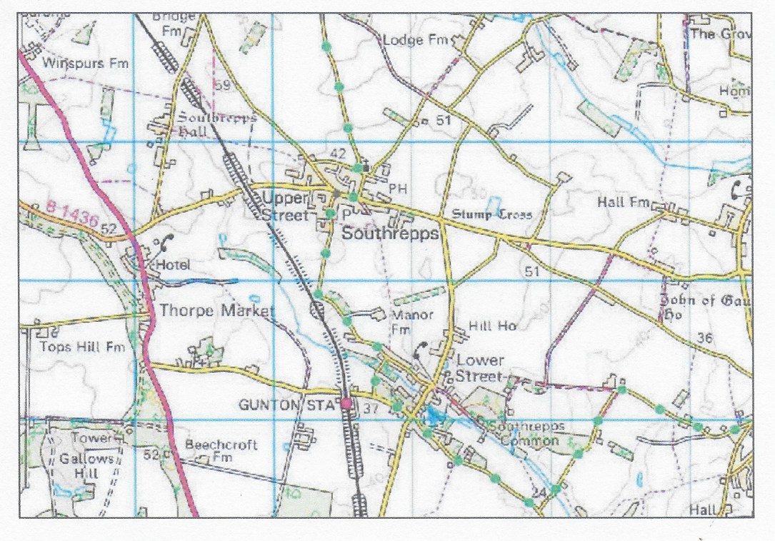
Historical Ordnance Survey maps
The following links are to historical maps of Southrepps from the National Library of Scotland.
1885 Ordnance Survey map Upper Street Surveyed: 1885, Published:1885 https://maps.nls.uk/view/101581103
1885 Ordnance Survey map of Lower Street Surveyed: 1885, Published: 1885 https://maps.nls.uk/view/101581154
1886 Ordnance Survey map of Lower Street 25inch to the mile 1884-1885 published 1886 https://maps.nls.uk/view/120847607
1905 Ordnance Survey map Upper Street Revised: 1905, Published: 1906 https://maps.nls.uk/view/120847544
1906 Ordnance Survey map of Lower Street 25inch to the mile Revised: 1905, Published: 1906 https://maps.nls.uk/view/120847610
1950 Ordnance Survey map Upper Street Revised: 1946, Published: 1950 https://maps.nls.uk/view/101581094
1957 Ordnance Survey map Southrepps Surveyed /revised: Pre-1930 to 1956, Published: 1957 https://maps.nls.uk/view/189253184
1965 Ordnance Survey map Southrepps Surveyed / revised: Pre-1930 to 1965, Published: 1965 https://maps.nls.uk/view/189253181
1969 Ordnance survey map of Lower Street Surveyed /revised 1969 published 1970 https://maps.nls.uk/view/188566354
1970 Ordnance Survey map Upper Street Revised: 1969, Published: 1970 https://maps.nls.uk/view/188566225
