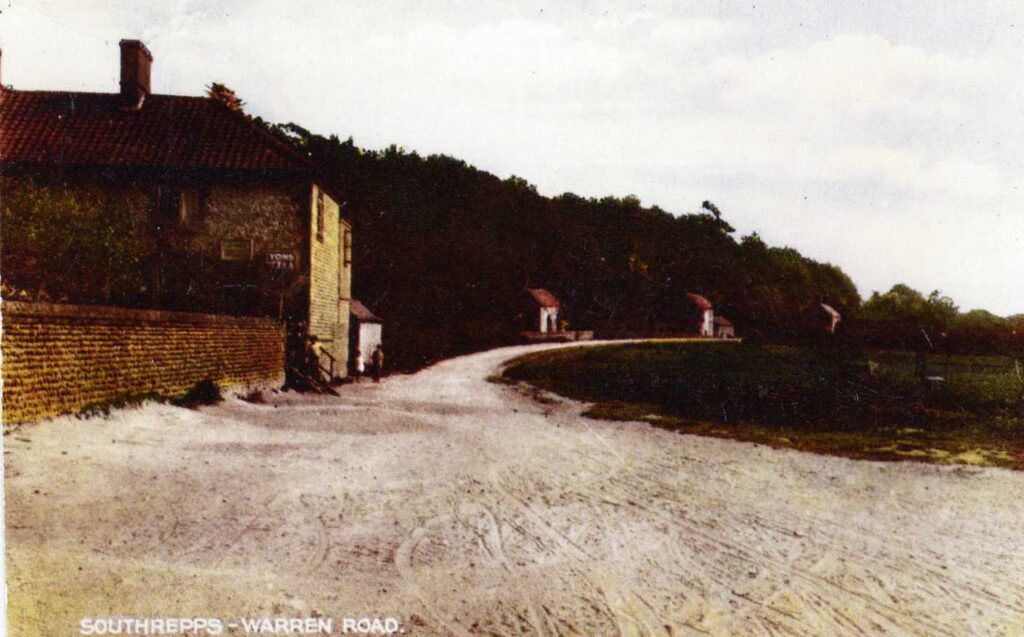
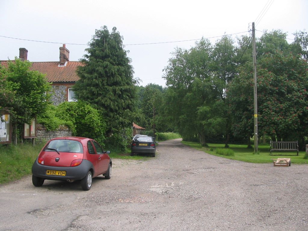
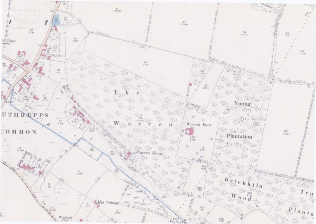
Warren Road is an unmade road in Lower Street that runs from the village sign to the Anglian Water sewage works at the far end, it is a cul-de-sac. At the crossroads end it adjoins a flat area of trees and amenity grass affectionately known as The Hill, which has been in past years been used for small fêtes. This then leads on to Southrepps Common. The field on the North side of the road is owned by Garden Farm. The Gunton Estate map of 1784 shows almost no properties owned by the estate. This does not mean there were no houses. One hundred years later there is a significant number of houses on the road.
Larks Rise
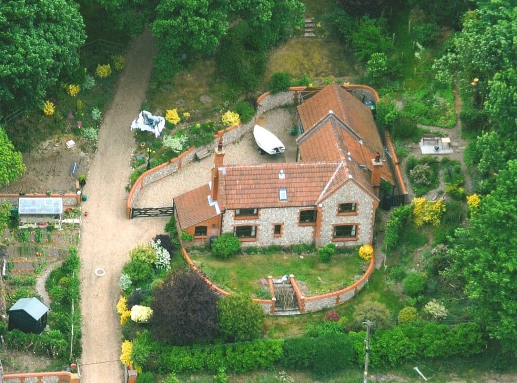
Larks Rise was built on the site of a previous smallholding which incorporated a small prefabricated bungalow alongside numerous outbuildings. These were spread over an acre of relatively steep rising land.
The residential property was considered to be in too poor a condition for refurbishment and so permission was granted for complete demolition to be replaced with a new-build for which plans were approved in 1994.
The new dwelling was designed by architect Jim Bond with a remit to reflect the proportions and materials appropriate to the vernacular characteristics of the area. The house was constructed using tradition brick and flint-work and set in 12 acres of woodland which was purchased separately.
The house was completed in 1996 and subsequently sold to the present owner in 2009.
