This a project launched in 2024 to record details and photographs of ALL the houses in the village no matter how old or new. If you would like to help please take a photograph of your house, tell us what you know about it, and using the contribute form on the sidebar, upload it to us and we will do the rest. If your neighbour doesn’t mind ask them to do theirs too. It might be that we have some information that we can add. We are recording today’s village for tomorrow’s villagers.
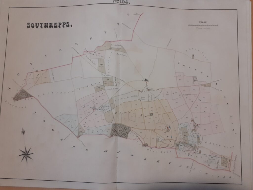
To help with research into properties on this website we have used the following sources, which are also available to anyone wishing to find out the history of their house. A Gunton Estate map of Southrepps made by Henry Biedermann in 1784, held by the Norwich Record Office (NRO). This shows that much of the property in the village was owned by Lord Suffield.

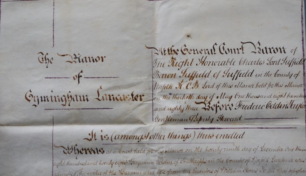
As can be seen form the Gunton Estate map the majority of houses in Southrepps in 1874 were owned by the Gunton Estate. The tenants were copyhold tenants which meant that the property was owned by the Lord of the manor, the tenant could sell the tenancy, or pass on tenancy to his inheritors, these transactions would be recorded in the manorial Court rolls and the tenant received a copy of the entry, hence copyhold. He also had to pay a fixed rent or other manorial duty to the Lord of the Manor which varied from estate to estate. The manorial court was held in the Vernon Arms.

There are publicly accessible census records from 1841 until 1921 and other ancestral records available online. The Gunton Estate papers can be inspected at the NRO and these contain much detailed information about the land holdings and tenancies in Southrepps. Unusually there was a detailed census and parish report for Southrepps prepared in 1800 and we have a transcript of this in the archive. We also have copies of 19th century Indentures/Deeds and maps relating to land and dwellings in Southrepps; copies of the Southrepps entries in Kellys directories; a copy of Byrant’s 1826 maps of Norfolk, and many old photographs of the village.
We do have images of these documents if anyone would like to consult them by visiting us at the History Hub, which is open on the second Thursday of the month in the village hall from 2-4.
On the side bar we have links to historic maps of Southrepps from the National Library of Scotland.
Upper Street
- Barclay Close
- Beechlands Park
- Chapel Street
- Church Street
- Clipped Hedge Lane
- Crown Loke
- Drury’s Yard
- Gables Avenue
- High Street
- Long Lane
- Meadow Lane
- Sandy Lane
- Thorpe Road
- Whitegates Road
- Wellspring Road
Lower Street
- Bradfield Road
- Chapel Road
- Lower Street
- Pit Street
- Station Road
- Warren Road
